

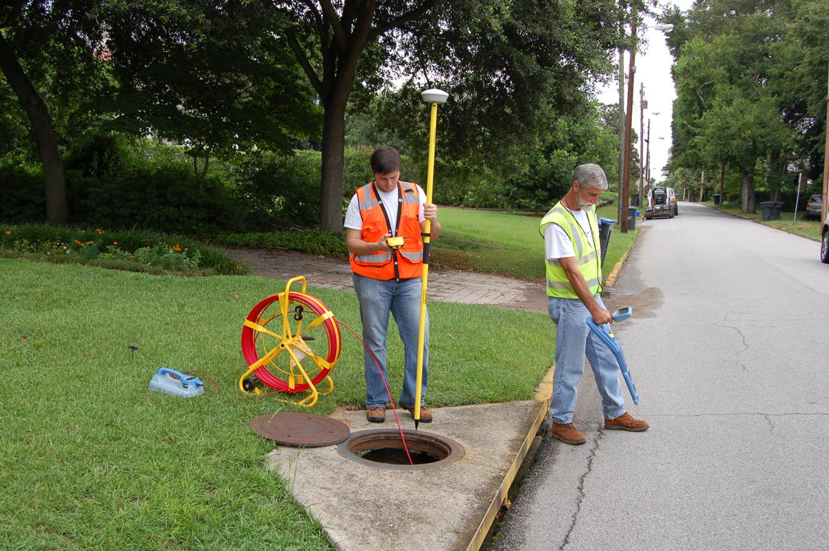
You could say that the measure of success for communities, developers, builders, and economic development visionaries often begins with the surveyors.
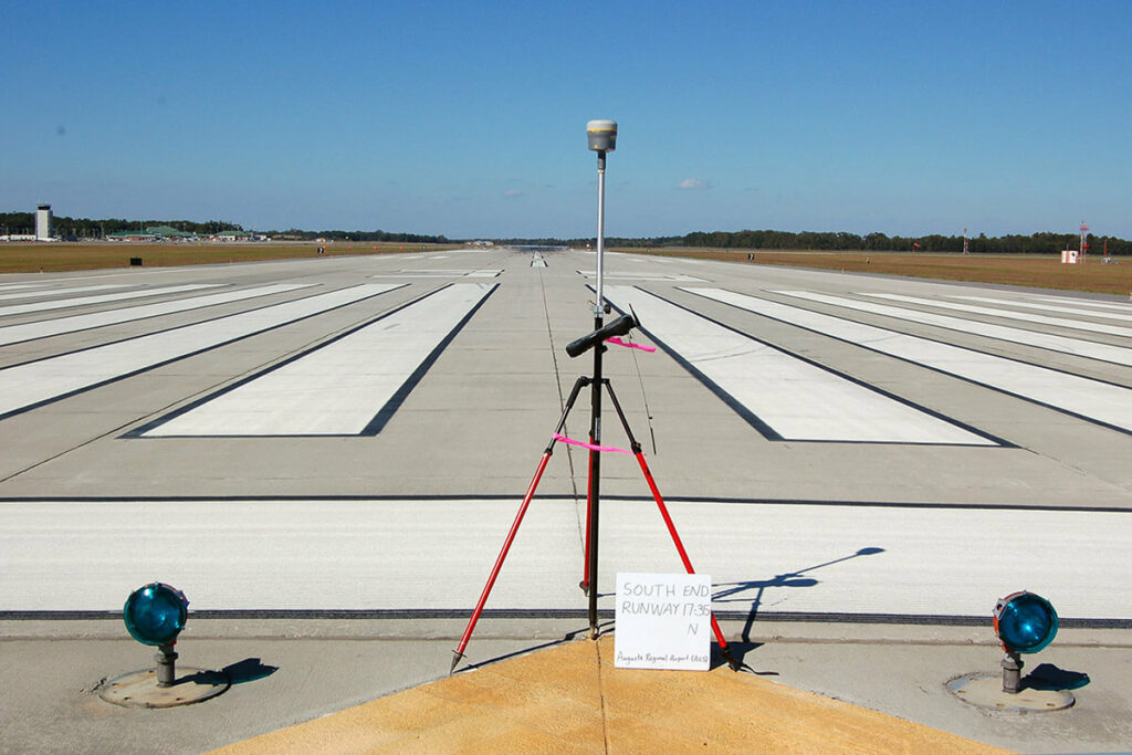
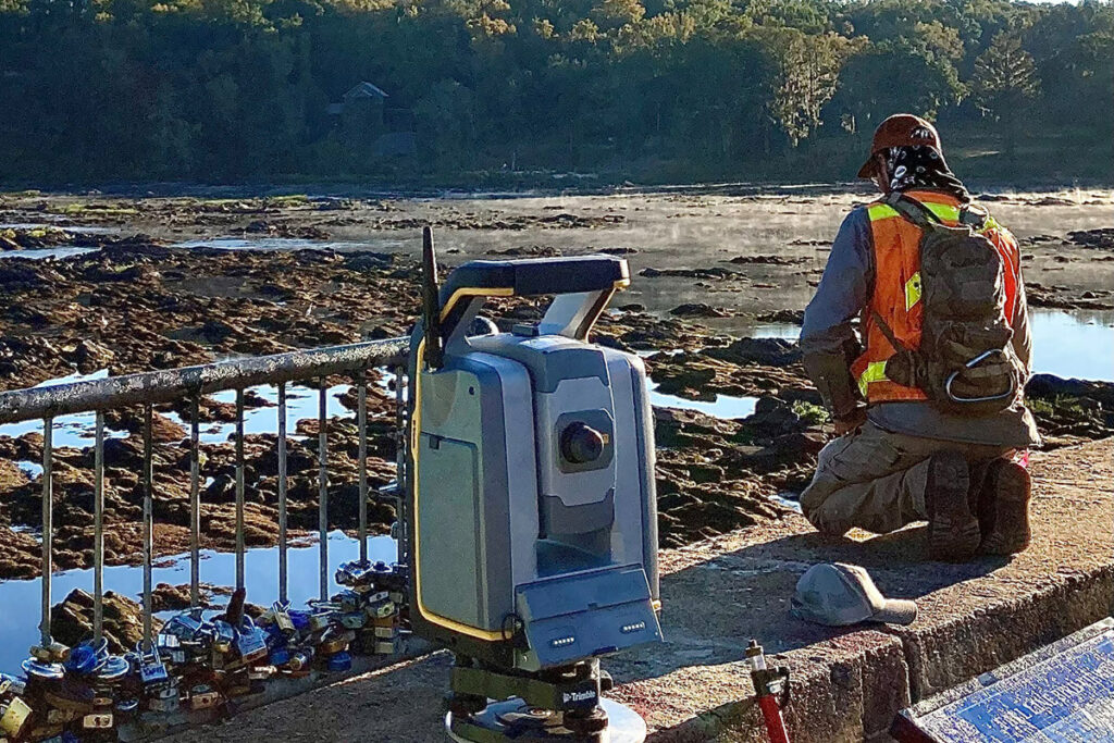
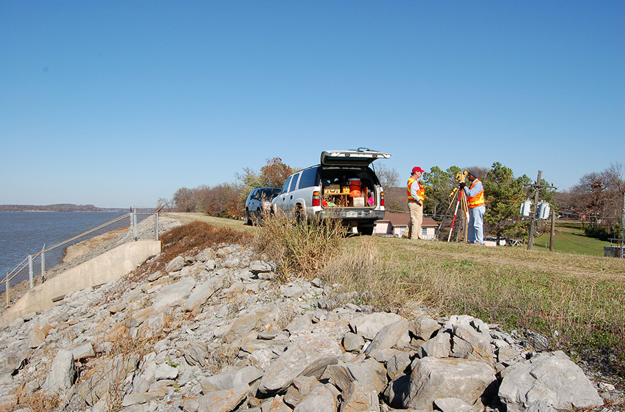
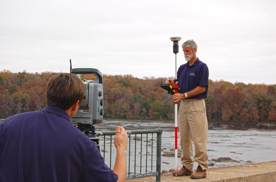
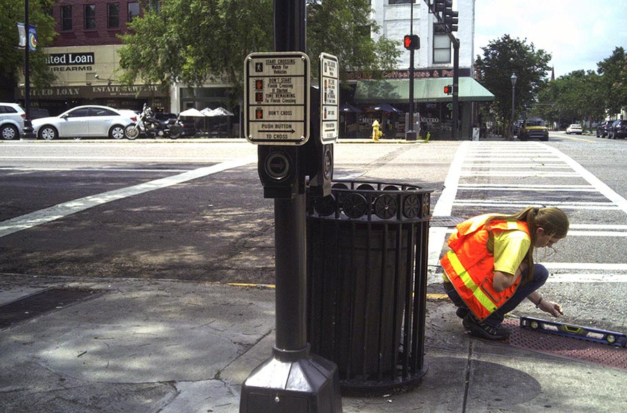
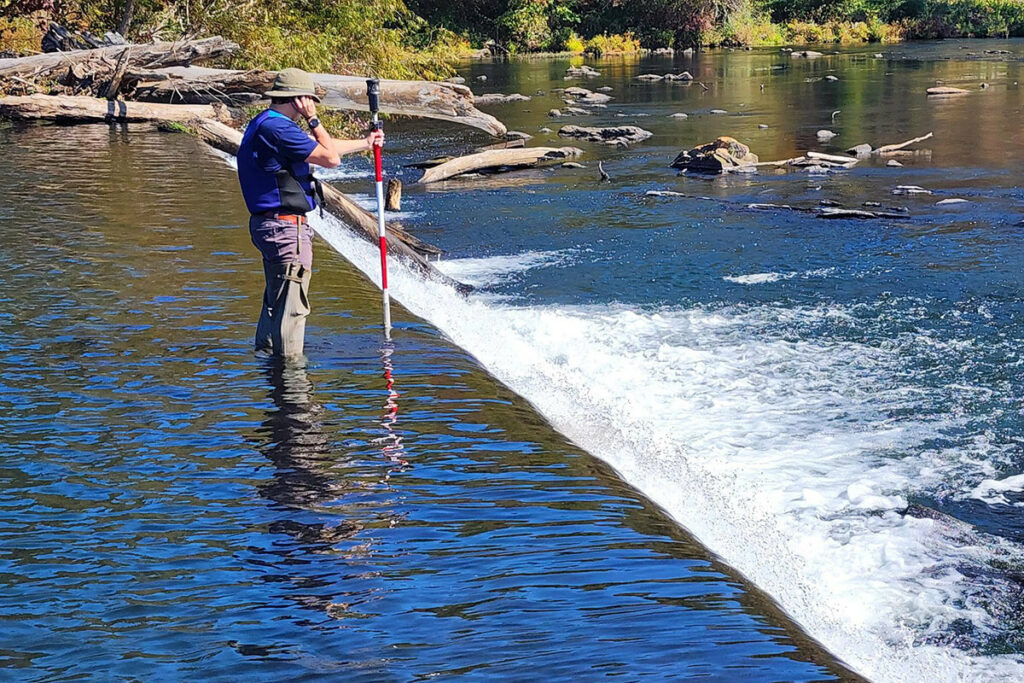
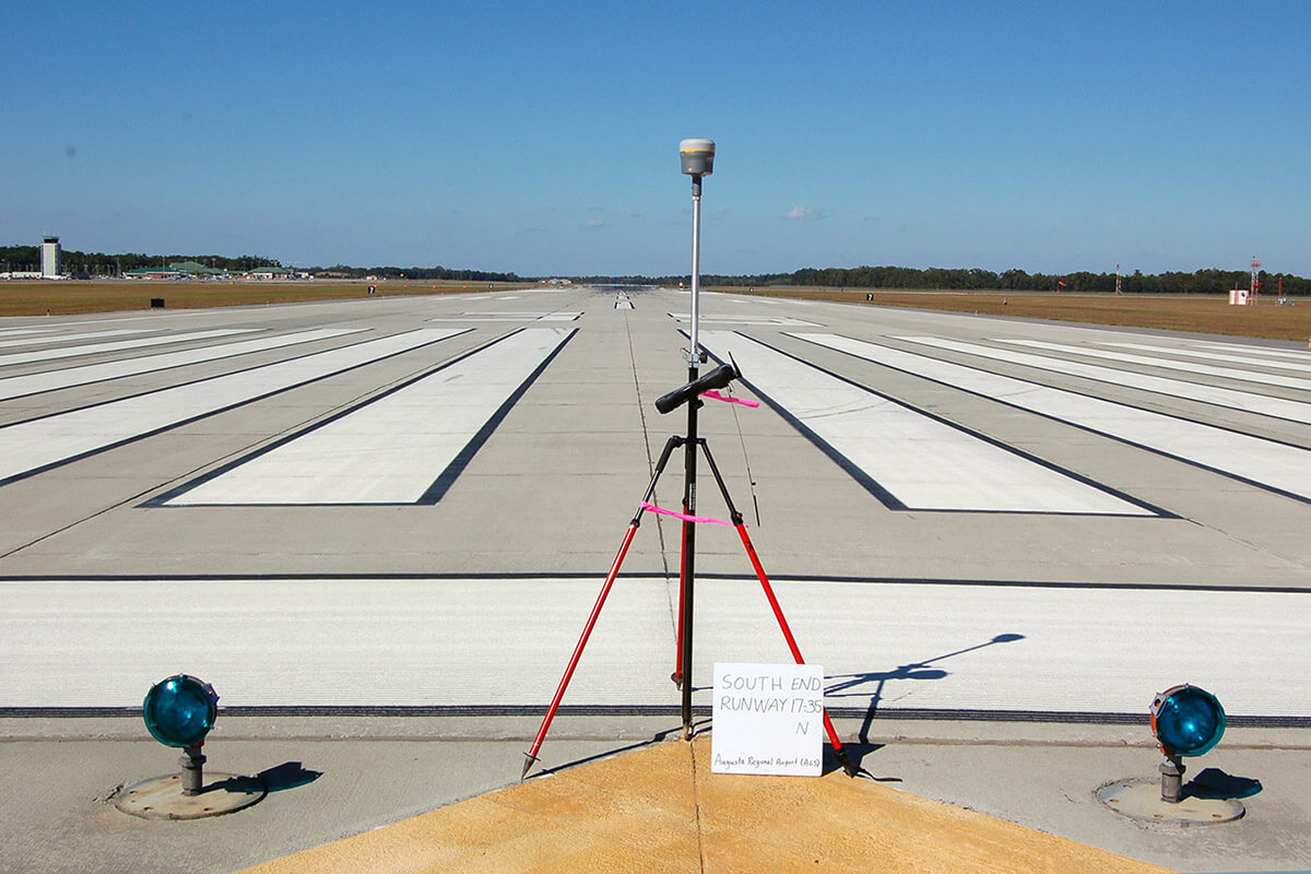
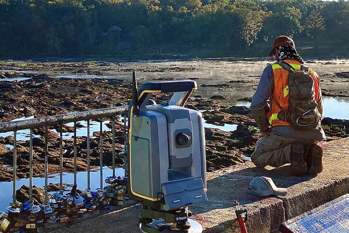
CRANSTON surveyors, who have been enduring weather, wetlands, woods, weeds, and neighboring property owners for more than half a century across the heart of the Southeast, set lasting boundaries. They define floodplains and wetlands.
They skillfully determine slopes, elevations, easements, and rights of way. And they settle property disputes – all with a high level of technical skill, accuracy, and documented integrity, supported by the latest surveying technology.
Indeed, CRANSTON surveyors serve at the forefront of many of the region’s most high-profile infrastructure projects, leading the way for the development of new subdivisions, industrial sites, and golf courses, as well as the expansion of local roads and the building of successful dams and levees. They provide a solid foundation for our engineers, landscape architects, and planners, and they literally help map the future for communities and their visions for growth.
CRANSTON surveyors take pride in setting the course for empowering communities to thrive.